Walking through the Prize Paper Dataset
This video provides a tour through the Prize Paper dataset using Kepler. Kepler is an amazing open source geospatial analysis tool for large-scale data sets.
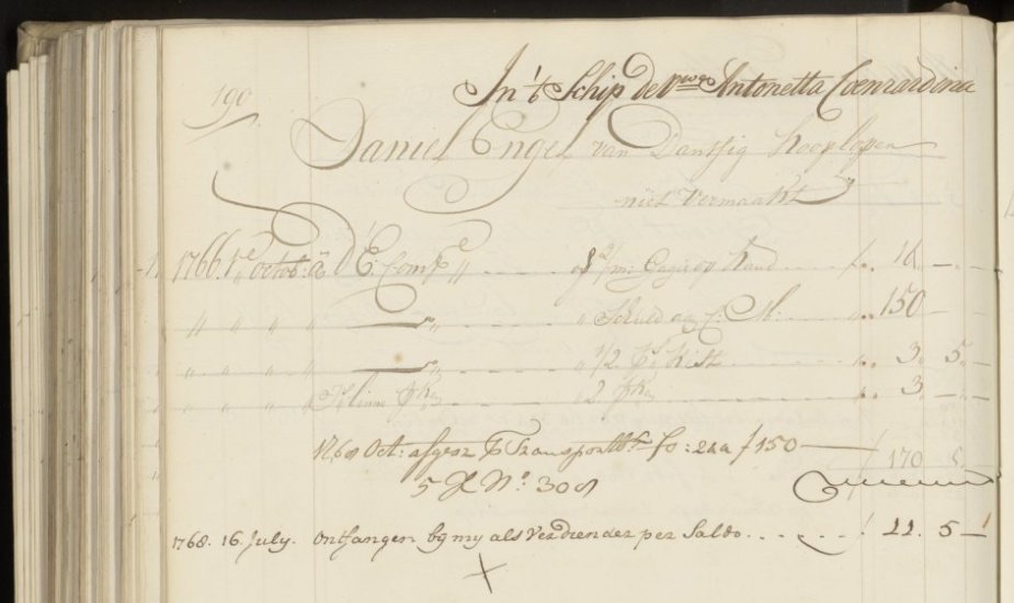
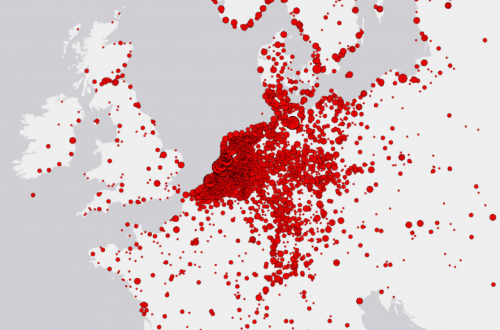
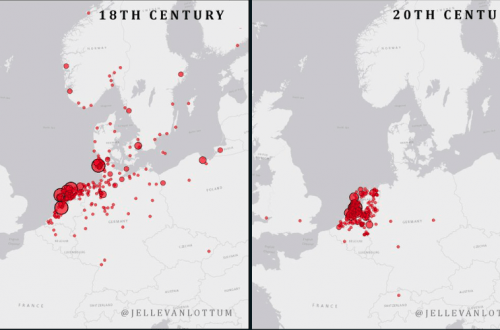
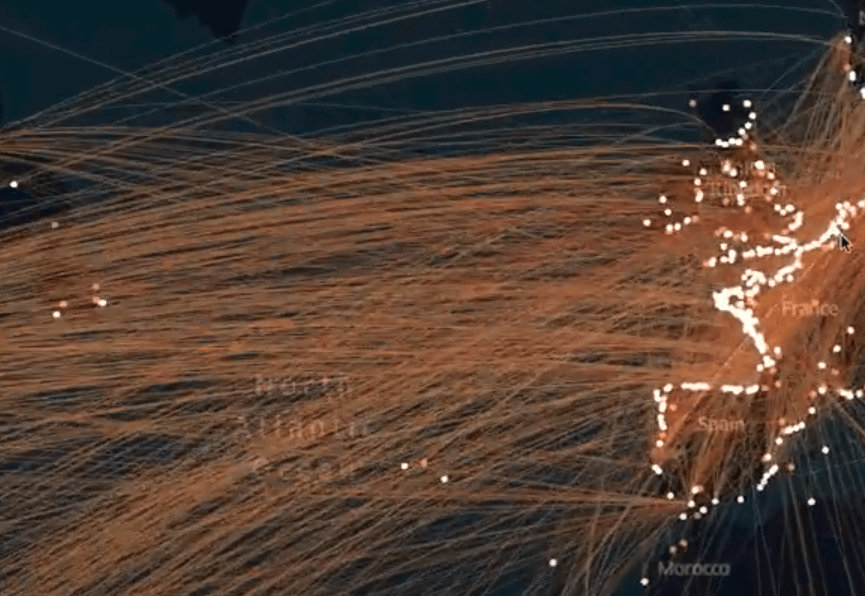
Here I’ve used it get an impression of the geographical scope of the Prize Paper Dataset – focusing on the shipping connections. Every line represents the journey of an 18th century merchant ship. As you can see the main connections are intra-European and Transatlantic. We’ll make the dataset available (hopefully) sometime early next year. Please look at my twitter feed for any updates and other visualisation (maps in particular), using this dataset.